Land Ahoy - the earliest maps of Iceland
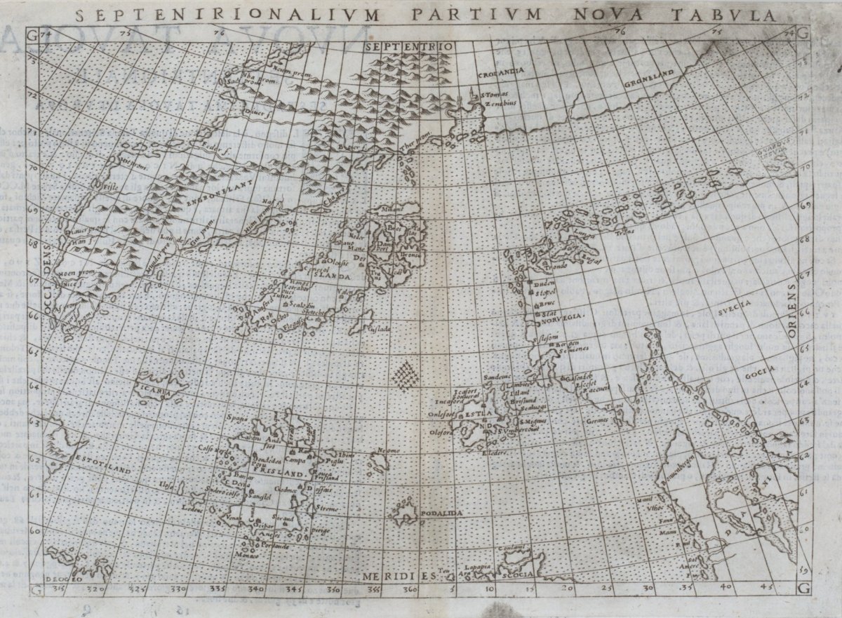
Land Ahoy presents 16th-century maps of Iceland, including the oldest known printed map of the country, published in 1507.
The exhibition is based on a remarkable map collection donated to Akureyri by the German couple Karl-Werner Schulte and Gisela Schulte-Daxbök since 2014.
The Schulte Collection is a collection of historic maps of Iceland donated to Akureyri by the German couple Karl-Werner Schulte and Gisela Schulte-Daxbök since 2014.
The collection is especially significant because it includes numerous printed maps of Iceland from the 16th to the 19th century, among them very rare maps from the early age of printing and the Golden Age of European cartography. In the context of the exhibition Land Ahoy – The Earliest Maps of Iceland, 1507–1600, “The Schulte Collection” refers to this donation of maps, which forms the basis of the exhibition.